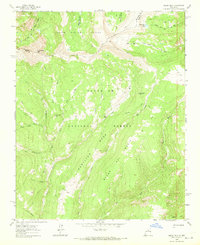
1963 Map of Pecos Falls
USGS Topo · Published 1970About this map
The high Sangre de Cristo Mountains define this 1963 survey, where the boundary between Rio Arriba and Mora Counties follows the high ridges. This alpine landscape is primarily occupied by the Carson National Forest and Santa Fe National Forest, characterized by steep drainages and several high-altitude lakes. The Pecos River takes shape here, dropping over Pecos Falls and gathering waters from tributaries like Rio Valdez and Rio Mora. Human presence is minimal and restricted to remote outposts like Beatty Cabin and Smith Cabin, connected by an extensive network of footpaths including the Divide Trail and numerous unnamed Pack Trails. The map details significant terrain features such as Chimayosos Peak and the broad plateau of Hamilton Mesa, providing a clear record of this wilderness area before the expansion of modern recreational infrastructure.
Find a feature on this map
32 named features on this map. Tap any name to fly to it.
Don’t see what you’re looking for? This feature index may not catch every label — zoom into the map to look around manually.
Map Details
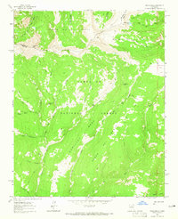
Editions of this 1963 Pecos Falls Map
2 editions found
Other maps of this area

1889 · Las Vegas
USGS Topo · 1:125,000

1889 · Santa Fe
USGS Topo · 1:125,000

1891 · Las Vegas
USGS Topo · 1:125,000

1893 · Las Vegas
USGS Topo · 1:125,000

1894 · Santa Fe
USGS Topo · 1:125,000

1954 · Santa Fe
USGS Topo · 1:250,000

1954 · Raton
USGS Topo · 1:250,000

1958 · Raton
USGS Topo · 1:250,000

1958 · Santa Fe
USGS Topo · 1:250,000
1961 · Cowles
USGS Topo · 1:24,000