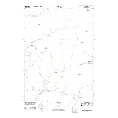
2010 Map of Peekamoose Mountain
USGS Topo · Published 2010About this map
The East Branch Neversink River and West Branch Neversink River define the northern drainages of this area, where early settlements like Denning and Branch were established along the valley floors. The landscape is dominated by significant peaks including Peekamoose Mountain and Slide Mountain, which have historically constrained development to the narrow corridors along Rondout Creek and Sundown Creek.
Find a feature on this map
51 named features on this map. Tap any name to fly to it.
Don’t see what you’re looking for? This feature index may not catch every label — zoom into the map to look around manually.
Map Details
Editions of this 2010 Peekamoose Mountain Map
This is the sole edition of this map. No revisions or reprints were ever made.
Other maps of this area

1900 · Phoenicia
USGS Topo · 1:62,500

1901 · Margaretville
USGS Topo · 1:62,500

1903 · Phoenicia
USGS Topo · 1:62,500

1903 · Slide Mountain
USGS Topo · 1:62,500

1904 · Margaretville
USGS Topo · 1:62,500

1905 · Slide Mountain
USGS Topo · 1:62,500

1910 · Neversink
USGS Topo · 1:62,500

1942 · West Shokan
USGS Topo · 1:24,000

1942 · Neversink
USGS Topo · 1:62,500

1942 · Lackawack
USGS Topo · 1:24,000