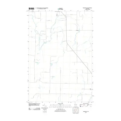
2010 Map of Peeksville
USGS Topo · Published 2010About this map
The East Fork Chippewa River winds through this landscape near the small settlement of Peeksville, where the local road network connects rural homesteads and timberlands in the early 21st century. The map reveals a high density of water features, including Camp Four Lake, Slim Lake, and Bullhead Lake, alongside numerous drainage systems like Schraum Creek and Spiller Creek. To the southeast, the Saint Cecelia Cemetery serves as a significant landmark for genealogical research. The northern edge of the survey is anchored by the Glidden Municipal Airport, illustrating the modern infrastructure supporting this northern Wisconsin community. Many of the local roads, such as Mail Route Rd and School Cross Rd, preserve the nomenclature of traditional rural services, providing a clear view of how these remote parcels were organized and accessed at the time of this 2010 study.
Find a feature on this map
45 named features on this map. Tap any name to fly to it.
Don’t see what you’re looking for? This feature index may not catch every label — zoom into the map to look around manually.
Map Details
Editions of this 2010 Peeksville Map
This is the sole edition of this map. No revisions or reprints were ever made.
Other maps of this area

1940 · Butternut
USGS Topo · 1:48,000

1941 · Park Falls
USGS Topo · 1:48,000

1941 · Kennedy
USGS Topo · 1:48,000

1942 · Glidden
USGS Topo · 1:48,000

1943 · Park Falls
USGS Topo · 1:48,000

1945 · Kennedy
USGS Topo · 1:48,000

1945 · Glidden
USGS Topo · 1:48,000

1947 · Park Falls
USGS Topo · 1:48,000

1947 · Butternut
USGS Topo · 1:48,000

1950 · Butternut
USGS Topo · 1:48,000