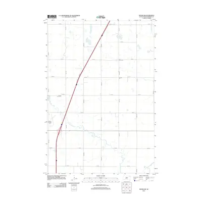
2012 Map of Peever NW
USGS Topo · Published 2012About this map
The Little Minnesota River winds through this section of Roberts County, carving a meandering path across the glacial landscape south of the Sisseton area. This 2012 survey illustrates a transition between the open prairie uplands and the river valley, where drainage features like Jim Cr and the Cottonwood Slough dictate the placement of local infrastructure.
Find a feature on this map
23 named features on this map. Tap any name to fly to it.
Don’t see what you’re looking for? This feature index may not catch every label — zoom into the map to look around manually.
Map Details
Editions of this 2012 Peever NW Map
This is the sole edition of this map. No revisions or reprints were ever made.
Other maps of this area

1916 · Peever
USGS Topo · 1:62,500

1917 · New Effington
USGS Topo · 1:62,500

1918 · Peever
USGS Topo · 1:62,500

1953 · Milbank
USGS Topo · 1:250,000

1958 · Milbank
USGS Topo · 1:250,000

1964 · Claire City
USGS Topo · 1:24,000

1970 · Sisseton
USGS Topo · 1:24,000

1970 · Goodwill
USGS Topo · 1:24,000

1971 · Browns Valley
USGS Topo · 1:24,000
1971 · Peever
USGS Topo · 1:24,000
Featured Places
- Old Agency District, SD
- Lake Traverse District, SD
- Heipa District
- Long Hollow District, SD
- Roberts County, SD