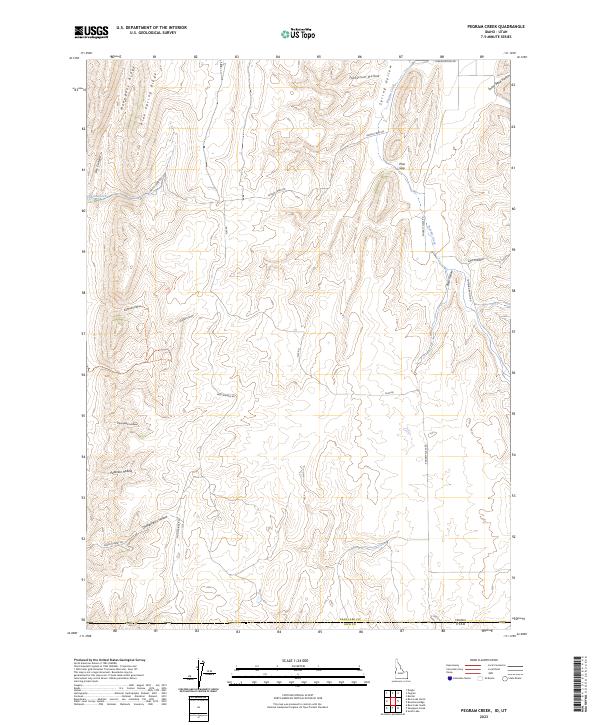
2023 Map of Pegram Creek
USGS Topo · Published 2023About this map
Mahogany Ridge and Pine Spring Ridge dominate the northwestern landscape of this Idaho-Utah borderlands region. The terrain is defined by a dense network of drainages and named hollows, including Swine Bend Hollow and Bee Hunt Hollow, which carve through the high country. The hydrological system is anchored by Indian Creek and Pegram Creek, the latter of which lends its name to this specific topographic study.
Find a feature on this map
32 named features on this map. Tap any name to fly to it.
Don’t see what you’re looking for? This feature index may not catch every label — zoom into the map to look around manually.
Map Details
Editions of this 2023 Pegram Creek Map
This is the sole edition of this map. No revisions or reprints were ever made.
Other maps of this area

1909 · Montpelier
USGS Topo · 1:125,000

1911 · Montpelier
USGS Topo · 1:125,000

1912 · Randolph
USGS Topo · 1:125,000

1954 · Ogden
USGS Topo · 1:250,000

1955 · Preston
USGS Topo · 1:250,000

1958 · Ogden
USGS Topo · 1:250,000

1958 · Preston
USGS Topo · 1:250,000

1960 · Ogden
USGS Topo · 1:250,000

1962 · Preston
USGS Topo · 1:250,000

1967 · Dingle
USGS Topo · 1:24,000