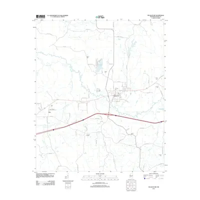
2012 Map of Pelahatchie
USGS Topo · Published 2012About this map
Pelahatchie serves as the central hub of this Rankin County landscape, situated where the interstate corridor meets local routes like Old Highway 80. The town's grid is dense with street-level detail, bordered by the winding path of Pelahatchie Cr to the south. Further west, the smaller settlement of Gulde sits near the Payne Airport, reflecting the rural development patterns of the early 21st century.
Find a feature on this map
84 named features on this map. Tap any name to fly to it.
Don’t see what you’re looking for? This feature index may not catch every label — zoom into the map to look around manually.
Map Details
Editions of this 2012 Pelahatchie Map
This is the sole edition of this map. No revisions or reprints were ever made.
Other maps of this area

1922 · Morton
USGS Topo · 1:48,000

1922 · Pelahatchee
USGS Topo · 1:48,000

1924 · Pelahatchee
USGS Topo · 1:62,500

1924 · Morton
USGS Topo · 1:62,500

1950 · Pelahatchie
USGS Topo · 1:62,500

1951 · Morton
USGS Topo · 1:62,500

1952 · Pelahatchie
USGS Topo · 1:62,500

1953 · Meridian
USGS Topo · 1:250,000

1957 · Meridian
USGS Topo · 1:250,000

1965 · Meridian
USGS Topo · 1:250,000