
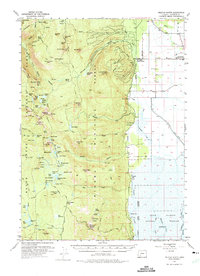
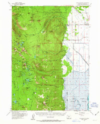
1955 Map of Pelican Butte
USGS Topo · Published 1957About this map
Pelican Butte dominates the central topography of this 1955 survey, rising as a prominent volcanic landmark within the eastern reaches of the Rogue River National Forest. The map captures a transitional landscape where the high peaks of the Southern Cascades meet the flat, marshy basins of the Upper Klamath National Wildlife Refuge. To the north, the boundary of Crater Lake National Park is visible, while the western portion of the sheet is defined by the high-elevation Seven Lakes Basin, containing numerous small water bodies like Lake Alta and South Lake.
Find a feature on this map
100 named features on this map. Tap any name to fly to it.
Don’t see what you’re looking for? This feature index may not catch every label — zoom into the map to look around manually.
Map Details
Editions of this 1955 Pelican Butte Map
3 editions found
Other maps of this area

1889 · Klamath
USGS Topo · 1:250,000

1891 · Ashland
USGS Topo · 1:250,000

1893 · Ashland
USGS Topo · 1:250,000

1894 · Klamath
USGS Topo · 1:250,000

1897 · Ashland
USGS Topo · 1:250,000

1955 · Lake O' Woods
USGS Topo · 1:62,500

1955 · Rustler Peak
USGS Topo · 1:62,500

1955 · Mt. Mc Loughlin
USGS Topo · 1:62,500

1955 · Klamath Falls
USGS Topo · 1:250,000

1955 · Medford
USGS Topo · 1:250,000