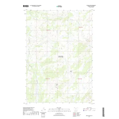
2017 Map of Pelican Cone
USGS Topo · Published 2017About this map
Pelican Cone rises as a prominent landmark in this eastern reach of Yellowstone National Park, overlooking a landscape defined by active thermal features and high-altitude drainage basins. The map illustrates a concentration of hydrothermal activity, notably the Hot Spring Basin Group in the northwest and uniquely named features like The Mudkettles and The Mushpots further south. These labels signify the geologic instability and thermal volatility of the Absaroka Range foothills. Human presence is documented primarily through primitive access routes, including the Pelican Creek Trail and the Pelican Cone Trail, which navigate the complex network of waterways like Pelican Cr and Mirror Fork. This 2017 survey reflects a wilderness area where natural geothermal processes and the rugged hydrology of the Buffalo Fork headwaters remain the dominant forces.
Find a feature on this map
22 named features on this map. Tap any name to fly to it.
Don’t see what you’re looking for? This feature index may not catch every label — zoom into the map to look around manually.
Map Details
Editions of this 2017 Pelican Cone Map
This is the sole edition of this map. No revisions or reprints were ever made.
Other maps of this area

1886 · Canyon
USGS Topo · 1:125,000

1895 · Canyon
USGS Topo · 1:125,000

1896 · Canyon
USGS Topo · 1:125,000

1901 · Canyon
USGS Topo · 1:125,000

1907 · Canyon
USGS Topo · 1:125,000

1911 · Canyon
USGS Topo · 1:125,000

1955 · Ashton
USGS Topo · 1:250,000

1958 · Ashton
USGS Topo · 1:250,000
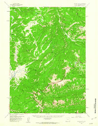
1959 · Pelican Cone
USGS Topo · 1:62,500
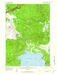
1959 · Canyon Village
USGS Topo · 1:62,500