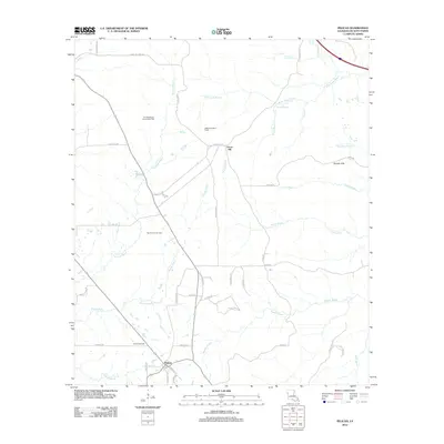
2012 Map of Pelican
USGS Topo · Published 2012About this map
The town of Pelican serves as the focal point for this DeSoto Parish survey, appearing here as a crossroads community with its own Po and a network of local roads such as Mustin Rd and All Saints Rd. The surrounding landscape is heavily defined by its subterranean resources, evidenced by the extensive Ten Mile Bayou Oil and Gas Field, the East Trenton Oil Field, and the Oxford Gas Field. These industrial zones are interspersed with a dense network of waterways, including the prominent Brushy Bayou, Tenmile Bayou, and the curiously named Stinkfinger Cr. To the northeast, the terrain rises into the Dolette Hills, where the DeSoto Lookout Tower stands as a notable landmark overlooking the convergence of drainage systems like W Br Dolet Bayou and Rocky Bayou. This map illustrates the intersection of rural residential settlement and intensive natural resource extraction in Northern Louisiana during the early 21st century.
Find a feature on this map
49 named features on this map. Tap any name to fly to it.
Don’t see what you’re looking for? This feature index may not catch every label — zoom into the map to look around manually.
Map Details
Editions of this 2012 Pelican Map
This is the sole edition of this map. No revisions or reprints were ever made.
Other maps of this area

1938 · Chemard Lake
USGS Topo · 1:31,680

1938 · Hollis Creek
USGS Topo · 1:31,680

1941 · Pelican
USGS Topo · 1:62,500

1943 · Pleasant Hill
USGS Topo · 1:62,500

1944 · Pleasant Hill
USGS Topo · 1:62,500

1945 · Mansfield
USGS Topo · 1:62,500

1947 · Mansfield
USGS Topo · 1:62,500

1947 · Hanna
USGS Topo · 1:62,500

1948 · Coushatta
USGS Topo · 1:62,500

1953 · Alexandria
USGS Topo · 1:250,000