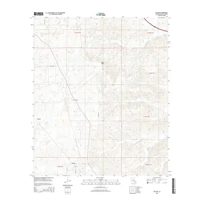
2015 Map of Pelican
USGS Topo · Published 2015About this map
Pelican and Oxford serve as the primary nodes of settlement in this part of DeSoto Parish, Louisiana. The landscape is characterized by a network of local roads such as Mustin Rd and Jefferson Ln that connect rural residences and farmland. To the northeast, the topography rises into the Dolette Hills, a distinct upland area that contrasts with the flatter sections of the quadrangle. The 2015 survey reveals a pattern of modern land use where older thoroughfares like La-483 and La-513 intersect with smaller named lanes including Nelson Ln. Other geographic markers like Grove Hill and San Patricio Rd help define the orientation of the region’s traditional homesteads and modern property divisions.
Find a feature on this map
21 named features on this map. Tap any name to fly to it.
Don’t see what you’re looking for? This feature index may not catch every label — zoom into the map to look around manually.
Map Details
Editions of this 2015 Pelican Map
This is the sole edition of this map. No revisions or reprints were ever made.
Other maps of this area

1938 · Chemard Lake
USGS Topo · 1:31,680

1938 · Hollis Creek
USGS Topo · 1:31,680

1941 · Pelican
USGS Topo · 1:62,500

1943 · Pleasant Hill
USGS Topo · 1:62,500

1944 · Pleasant Hill
USGS Topo · 1:62,500

1945 · Mansfield
USGS Topo · 1:62,500

1947 · Mansfield
USGS Topo · 1:62,500

1947 · Hanna
USGS Topo · 1:62,500

1948 · Coushatta
USGS Topo · 1:62,500

1953 · Alexandria
USGS Topo · 1:250,000