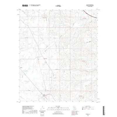
2018 Map of Pelican
USGS Topo · Published 2018About this map
Pelican and Oxford serve as the primary settlement points in this pocket of DeSoto Parish, where the landscape is defined by an intricate network of drainages. The topography is marked by the Dolette Hills in the northeast and a dense system of waterways including Tenmile Bayou, Prairie Bayou, and the curiously named Stinkfinger Cr. The rural road network, consisting of routes like Old Jefferson Rd and Saint Paul St, connects dispersed homesteads across the southern sections of the map.
Find a feature on this map
46 named features on this map. Tap any name to fly to it.
Don’t see what you’re looking for? This feature index may not catch every label — zoom into the map to look around manually.
Map Details
Editions of this 2018 Pelican Map
This is the sole edition of this map. No revisions or reprints were ever made.
Other maps of this area

1938 · Chemard Lake
USGS Topo · 1:31,680

1938 · Hollis Creek
USGS Topo · 1:31,680

1941 · Pelican
USGS Topo · 1:62,500

1943 · Pleasant Hill
USGS Topo · 1:62,500

1944 · Pleasant Hill
USGS Topo · 1:62,500

1945 · Mansfield
USGS Topo · 1:62,500

1947 · Mansfield
USGS Topo · 1:62,500

1947 · Hanna
USGS Topo · 1:62,500

1948 · Coushatta
USGS Topo · 1:62,500

1953 · Alexandria
USGS Topo · 1:250,000