
1945 Map of Pelican Lake
USGS Topo · Published 1955About this map
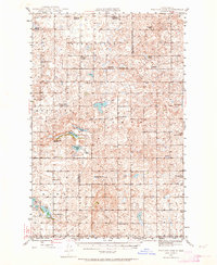
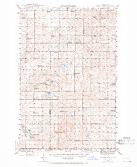
Glacial depressions and prairie potholes dominate this mid-century landscape in the heart of North Dakota, where water bodies like Pelican Lake and Seibold Lake dot the terrain. The map reveals a highly organized rural infrastructure, partitioned into civil townships such as Byersville, Prophets, and Medicine Hill. The social fabric of these remote farming communities is evidenced by the dense network of numbered country schools, including Byersville Sch No 4 and Wise Sch No 1, which once served as the primary gathering points for local families. Cultural landmarks such as Immanuel Ch and the Our Savior Cem provide essential anchor points for genealogical research. The varied topography is punctuated by Medicine Hill, while numerous small lakes like Postel Lake and Brush Lake reflect the typical hydrologic patterns of the Missouri Plateau before modern agricultural drainage significantly altered the surface water.
Find a feature on this map
37 named features on this map. Tap any name to fly to it.
Don’t see what you’re looking for? This feature index may not catch every label — zoom into the map to look around manually.
Map Details
Editions of this 1945 Pelican Lake Map
3 editions found
Other maps of this area

1929 · Kongsberg
USGS Topo · 1:62,500

1929 · Balfour
USGS Topo · 1:62,500

1930 · Drake
USGS Topo · 1:62,500

1947 · Pelican Lake
USGS Topo · 1:62,500

1947 · Turtle Lake
USGS Topo · 1:62,500

1947 · Lincoln Valley
USGS Topo · 1:62,500

1949 · Turtle Creek
USGS Topo · 1:62,500

1954 · McClusky
USGS Topo · 1:250,000

1958 · McClusky
USGS Topo · 1:250,000

1958 · Butte
USGS Topo · 1:24,000