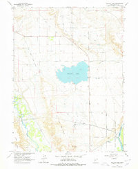
1964 Map of Pelican Lake
USGS Topo · Published 1978About this map
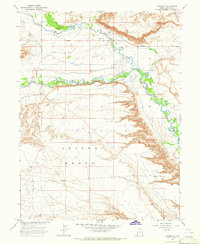
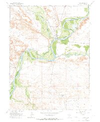
Pelican Lake sits at the center of this high-desert landscape in Uintah County, serving as a focal point for water management in a region defined by its rivers and irrigation networks. The confluence area of the Duchesne River and the Green River in the south provides vital habitat within the Ouray National Wildlife Refuge, where infrastructure like the Refuge Headquarters and various pumping stations are established. The map reveals the complexity of local water rights and historical land divisions, traced by the Old Indian Treaty Boundary and the Ouray Valley Canal. Small pockets of settlement such as Leota and Echleson appear alongside evidence of the region’s agricultural and industrial efforts, including the Wissiup Ditch and scattered gas wells. This 1964 survey captures the intersection of natural riparian corridors and the engineered landscape of Ouray Park.
Find a feature on this map
30 named features on this map. Tap any name to fly to it.
Don’t see what you’re looking for? This feature index may not catch every label — zoom into the map to look around manually.
Map Details
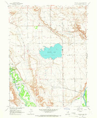
Editions of this 1964 Pelican Lake Map
2 editions found
Other maps of this area

1885 · Ashley
USGS Topo · 1:250,000

1917 · Vernal
USGS Topo · 1:125,000

1954 · Vernal
USGS Topo · 1:250,000

1958 · Vernal
USGS Topo · 1:250,000

1960 · Vernal
USGS Topo · 1:250,000
1964 · Fort Duchesne
USGS Topo · 1:24,000

1964 · Brennan Basin
USGS Topo · 1:24,000
1964 · Vernal SW
USGS Topo · 1:24,000
1964 · Randlett
USGS Topo · 1:24,000
1964 · Ouray
USGS Topo · 1:24,000