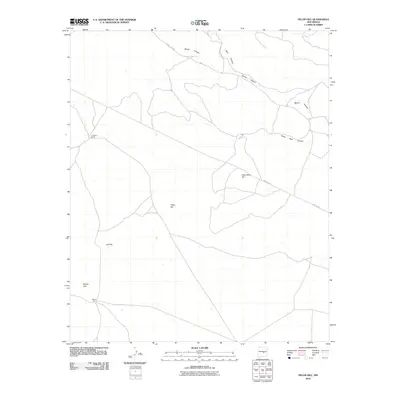
2010 Map of Pelon Hill
USGS Topo · Published 2010About this map
Pelon Hill and its smaller counterpart, Little Pelon Hill, dominate this high-desert landscape in Lincoln County. The area is characterized by a network of drainage systems including Bonita Canyon, Dark Canyon, and South Well Canyon, which carve through the terrain. Human presence is concentrated around the Lovelace Ranch and several named high points like Monte Alto and R D Hill. Modern infrastructure is visible through the utility corridor of Pipeline Rd and the local thoroughfare County Rd A033, illustrating the continued use of this arid rangeland for ranching and resource transport into the early 21st century.
Find a feature on this map
11 named features on this map. Tap any name to fly to it.
Don’t see what you’re looking for? This feature index may not catch every label — zoom into the map to look around manually.
Map Details
Editions of this 2010 Pelon Hill Map
This is the sole edition of this map. No revisions or reprints were ever made.
Other maps of this area

1954 · Fort Sumner
USGS Topo · 1:250,000

1955 · Roswell
USGS Topo · 1:250,000

1958 · Fort Sumner
USGS Topo · 1:250,000

1958 · Roswell
USGS Topo · 1:250,000

1962 · Roswell
USGS Topo · 1:250,000

1973 · Ancho
USGS Topo · 1:24,000

1973 · Chupadero Mountain
USGS Topo · 1:24,000

1980 · Corona
USGS Topo · 1:100,000

1981 · Gallo Spring Canyon
USGS Topo · 1:24,000

1981 · Rough Mountain
USGS Topo · 1:24,000