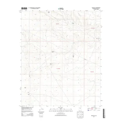
2013 Map of Pelon Hill
USGS Topo · Published 2013About this map
Lovelace Ranch sits near the southwestern corner of this survey, marking a rare point of human habitation in a high-desert landscape defined by complex drainage systems and isolated summits. The terrain is structured around prominent elevations like Pelon Hill and Monte Alto, which overlook the surrounding basins. A network of deep ravines, including Bonita Canyon and South Well Canyon, illustrates the natural erosion patterns of the Lincoln County high country. Transportation in this era is represented by Co Road A033 and Pipeline Rd, which cut through the drainage basins to connect these remote ranching lands. The map captures the specialized land management of the early 21st century, where industrial infrastructure and traditional grazing territory share space among landmarks like Little Pelon Hill and R D Hill.
Find a feature on this map
14 named features on this map. Tap any name to fly to it.
Don’t see what you’re looking for? This feature index may not catch every label — zoom into the map to look around manually.
Map Details
Editions of this 2013 Pelon Hill Map
This is the sole edition of this map. No revisions or reprints were ever made.
Other maps of this area

1954 · Fort Sumner
USGS Topo · 1:250,000

1955 · Roswell
USGS Topo · 1:250,000

1958 · Fort Sumner
USGS Topo · 1:250,000

1958 · Roswell
USGS Topo · 1:250,000

1962 · Roswell
USGS Topo · 1:250,000

1973 · Ancho
USGS Topo · 1:24,000

1973 · Chupadero Mountain
USGS Topo · 1:24,000

1980 · Corona
USGS Topo · 1:100,000

1981 · Gallo Spring Canyon
USGS Topo · 1:24,000

1981 · Rough Mountain
USGS Topo · 1:24,000