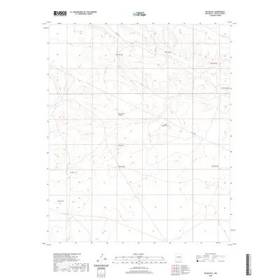
2020 Map of Pelon Hill
USGS Topo · Published 2020About this map
Pelon Hill and its neighbor Little Pelon Hill dominate this high-altitude landscape in Lincoln County, New Mexico. The terrain is defined by a network of drainage features, including the notable Dark Canyon to the north and South Well Canyon near the center of the quadrangle. These deep cuts through the land illustrate the complex watershed of the region, where seasonal runoff has carved paths such as Bonita Canyon.
Find a feature on this map
14 named features on this map. Tap any name to fly to it.
Don’t see what you’re looking for? This feature index may not catch every label — zoom into the map to look around manually.
Map Details
Editions of this 2020 Pelon Hill Map
This is the sole edition of this map. No revisions or reprints were ever made.
Other maps of this area

1954 · Fort Sumner
USGS Topo · 1:250,000

1955 · Roswell
USGS Topo · 1:250,000

1958 · Fort Sumner
USGS Topo · 1:250,000

1958 · Roswell
USGS Topo · 1:250,000

1962 · Roswell
USGS Topo · 1:250,000

1973 · Ancho
USGS Topo · 1:24,000

1973 · Chupadero Mountain
USGS Topo · 1:24,000

1980 · Corona
USGS Topo · 1:100,000

1981 · Gallo Spring Canyon
USGS Topo · 1:24,000

1981 · Rough Mountain
USGS Topo · 1:24,000