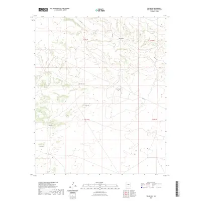
2023 Map of Pelon Hill
USGS Topo · Published 2023About this map
Pelon Hill and Little Pelon Hill dominate this high-elevation landscape in Lincoln County, where the terrain is carved by complex drainage systems like Dark Canyon and South Well Canyon. The 2023 survey by the U.S. Geological Survey illustrates a region defined more by its natural topography and essential infrastructure than by dense settlement. Prominent peaks such as Monte Alto and R D Hill provide clear navigational landmarks across the township lines of t2s r13e and t3s r13e. Human activity is primarily represented by utility and transport corridors, including Pipeline Rd and rural routes like Co Rd A033. This map is particularly useful for understanding modern land use and drainage patterns in the arid New Mexico interior, showing how roads and pipelines negotiate the steep relief of the Sacramento Mountains area.
Find a feature on this map
14 named features on this map. Tap any name to fly to it.
Don’t see what you’re looking for? This feature index may not catch every label — zoom into the map to look around manually.
Map Details
Editions of this 2023 Pelon Hill Map
This is the sole edition of this map. No revisions or reprints were ever made.
Other maps of this area

1954 · Fort Sumner
USGS Topo · 1:250,000

1955 · Roswell
USGS Topo · 1:250,000

1958 · Fort Sumner
USGS Topo · 1:250,000

1958 · Roswell
USGS Topo · 1:250,000

1962 · Roswell
USGS Topo · 1:250,000

1973 · Ancho
USGS Topo · 1:24,000

1973 · Chupadero Mountain
USGS Topo · 1:24,000

1980 · Corona
USGS Topo · 1:100,000

1981 · Gallo Spring Canyon
USGS Topo · 1:24,000

1981 · Rough Mountain
USGS Topo · 1:24,000