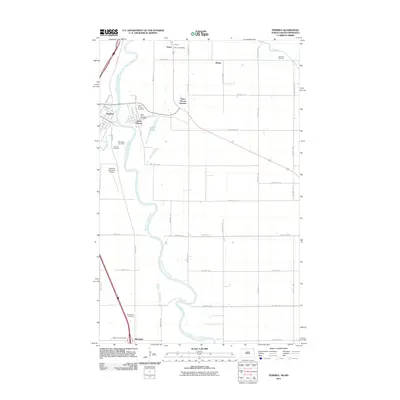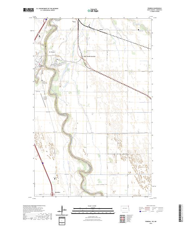
2024 Map of Pembina
USGS Topo · Published 2024About this map
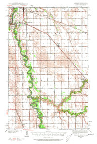
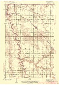
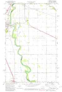
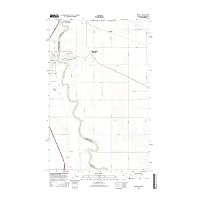
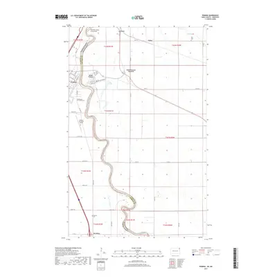
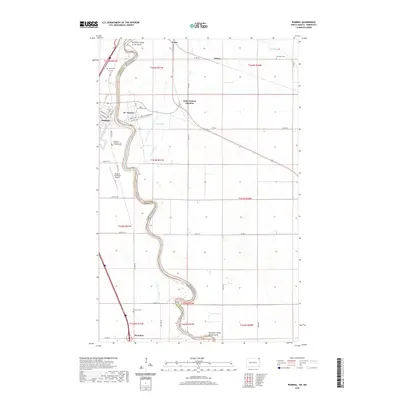
The Red River of the North carves a sinuous international and state boundary through this landscape, dividing Pembina in North Dakota from St. Vincent in Minnesota. This borderland region is defined by its deep agricultural grid and the confluence of the Pembina River, where the town of Pembina maintains a concentrated street plan including Great Northern Ave and Atlantic Ave. Transportation remains central to the area's layout, from the Pembina Municipal Airport to the rail infrastructure at Saint Vincent Junction and the northern outpost of Noyes on the Canadian border.
Find a feature on this map
52 named features on this map. Tap any name to fly to it.
Don’t see what you’re looking for? This feature index may not catch every label — zoom into the map to look around manually.
Map Details
Editions of this 2024 Pembina Map
This is the sole edition of this map. No revisions or reprints were ever made.
Historical Maps of Pembina Through Time
8 maps found