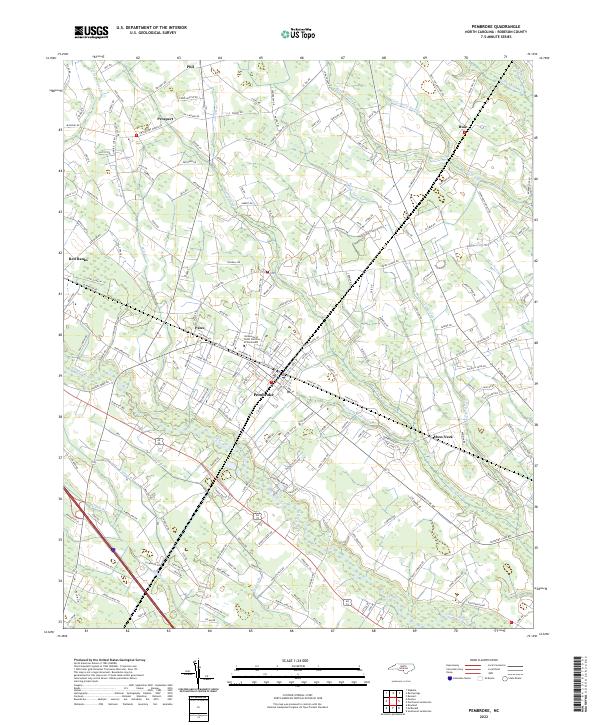
2022 Map of Pembroke
USGS Topo · Published 2022About this map
Pembroke serves as the focal point of this 2022 survey, anchoring a landscape where academic history and natural wetlands converge. The presence of the University of North Carolina at Pembroke reflects the deep cultural roots of the Lumbee people in Robeson County, providing a vital institutional center for the region. The town is surrounded by a complex network of hydrological features, most notably the meandering Lumber River and expansive wetlands like Bear Swamp and Burnt Swamp.
Find a feature on this map
198 named features on this map. Tap any name to fly to it.
Don’t see what you’re looking for? This feature index may not catch every label — zoom into the map to look around manually.
Map Details
Editions of this 2022 Pembroke Map
This is the sole edition of this map. No revisions or reprints were ever made.
Other maps of this area

1949 · Wakulla
USGS Topo · 1:24,000

1949 · Laurinburg
USGS Topo · 1:62,500

1953 · Florence
USGS Topo · 1:250,000

1954 · Florence
USGS Topo · 1:250,000

1972 · Northwest Lumberton
USGS Topo · 1:24,000

1972 · Southwest Lumberton
USGS Topo · 1:24,000

1972 · Rennert
USGS Topo · 1:24,000

1972 · Pembroke
USGS Topo · 1:24,000
1972 · Rowland
USGS Topo · 1:24,000
1972 · Mc Donald
USGS Topo · 1:24,000