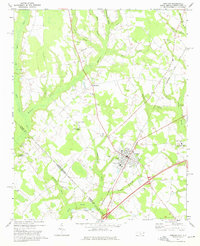
1972 Map of Rowland
USGS Topo · Published 1976About this map
The borderlands of Robeson and Dillon counties come alive in this early 1970s survey, centered on the hub of Rowland. The town's grid is anchored by the Seaboard Coast Line and civic landmarks like the Athletic Field and Southside School. The surrounding agricultural landscape is defined by a dense network of watercourses, including Ashpole and Mitchell Swamp, where numerous Claypits and Sandpits indicate a local extractive economy.
Find a feature on this map
44 named features on this map. Tap any name to fly to it.
Don’t see what you’re looking for? This feature index may not catch every label — zoom into the map to look around manually.
Map Details
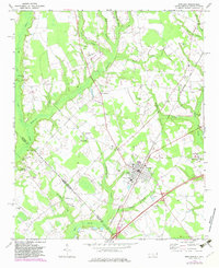
Editions of this 1972 Rowland Map
2 editions found
Other maps of this area

1943 · Pages Mill
USGS Topo · 1:62,500

1953 · Florence
USGS Topo · 1:250,000

1954 · Florence
USGS Topo · 1:250,000

1960 · Dillon East
USGS Topo · 1:24,000

1960 · Dillon West
USGS Topo · 1:24,000

1962 · Gaddysville
USGS Topo · 1:24,000

1962 · Fair Bluff
USGS Topo · 1:62,500

1971 · Minturn
USGS Topo · 1:24,000

1971 · Johns
USGS Topo · 1:24,000

1972 · Pembroke
USGS Topo · 1:24,000