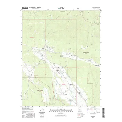
2017 Map of Penasco
USGS Topo · Published 2017About this map
The Sangre de Cristo Mountains define the high-altitude landscape of this northern New Mexico region, where communal irrigation systems and traditional land grants shape the valley settlements. The complex network of acequias, such as the Acequia Madre de Santa Barbara and Acequia Monte, illustrates a centuries-old agricultural tradition that sustains the villages of Peñasco, Rodarte, and Chamisal. This system of gravity-fed water channels remains central to the local economy and social structure, diverting water from the Rio Pueblo and Rio Chiquito to small-scale farm plots.
Find a feature on this map
97 named features on this map. Tap any name to fly to it.
Don’t see what you’re looking for? This feature index may not catch every label — zoom into the map to look around manually.
Map Details
Editions of this 2017 Penasco Map
This is the sole edition of this map. No revisions or reprints were ever made.
Other maps of this area
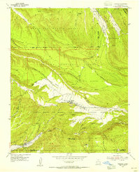
1953 · Truchas
USGS Topo · 1:24,000
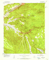
1953 · Trampas
USGS Topo · 1:24,000
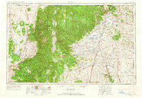
1954 · Raton
USGS Topo · 1:250,000
1958 · Raton
USGS Topo · 1:250,000
1961 · Carson
USGS Topo · 1:24,000
1964 · Tres Ritos
USGS Topo · 1:24,000
1964 · Ranchos De Taos
USGS Topo · 1:24,000
1964 · Penasco
USGS Topo · 1:24,000
1964 · Taos SW
USGS Topo · 1:24,000
1964 · Jicarita Peak
USGS Topo · 1:24,000