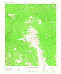
1964 Map of Jicarita Peak
USGS Topo · Published 1967About this map
Jicarita Peak and the surrounding high-altitude terrain dominate this mid-century survey of the Sangre de Cristo Mountains, capturing the intersection of the Carson National Forest and the Santa Fe National Forest. The landscape is defined by its extensive drainage systems, including the Rio Santa Barbara and Rio Pueblo, which flow from the alpine ridges. A network of pack trails, such as the Osha Trail and Comales Trail, illustrates the era's reliance on traditional routes for accessing the high country before modern mechanized transit altered wilderness management.
Find a feature on this map
45 named features on this map. Tap any name to fly to it.
Don’t see what you’re looking for? This feature index may not catch every label — zoom into the map to look around manually.
Map Details
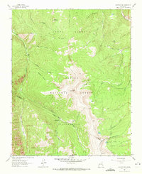
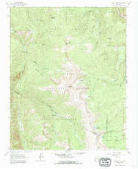
Editions of this 1964 Jicarita Peak Map
Other maps of this area

1889 · Las Vegas
USGS Topo · 1:125,000

1889 · Santa Fe
USGS Topo · 1:125,000

1891 · Las Vegas
USGS Topo · 1:125,000

1893 · Las Vegas
USGS Topo · 1:125,000

1894 · Santa Fe
USGS Topo · 1:125,000

1954 · Santa Fe
USGS Topo · 1:250,000

1954 · Raton
USGS Topo · 1:250,000

1958 · Raton
USGS Topo · 1:250,000

1958 · Santa Fe
USGS Topo · 1:250,000
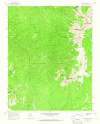
1963 · Truchas Peak
USGS Topo · 1:24,000