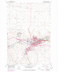
1966 Map of Pendleton
USGS Topo · Published 1978About this map
Pendleton serves as a major hub for the Umatilla River valley on this mid-century survey, showcasing a landscape defined by significant public institutions and a complex transportation network. The urban core is flanked by the Eastern Oregon State Hospital and the noted Roundup Grounds, reflecting the city's role as a regional center for healthcare and cultural events. Educational development is evident through the presence of Blue Mt Community College and numerous local schools like Mc Cune Jr High Sch.
Find a feature on this map
60 named features on this map. Tap any name to fly to it.
Don’t see what you’re looking for? This feature index may not catch every label — zoom into the map to look around manually.
Map Details
Editions of this 1966 Pendleton Map
3 editions found
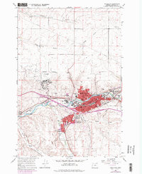
Other maps of this area

1935 · Pendleton
USGS Topo · 1:125,000

1953 · Pendleton
USGS Topo · 1:250,000

1956 · Pendleton
USGS Topo · 1:250,000

1966 · Mc Kay Reservoir
USGS Topo · 1:24,000

1966 · Holdman
USGS Topo · 1:24,000

1966 · Holdman SE
USGS Topo · 1:24,000

1966 · Table Rock
USGS Topo · 1:24,000

1966 · Pendleton
USGS Topo · 1:24,000

1966 · Mission
USGS Topo · 1:24,000
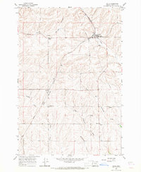
1966 · Helix
USGS Topo · 1:24,000