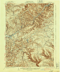
1932 Map of Penfield
USGS Topo · Published 1940About this map
The transition from the High Allegheny Plateau's ridges into the industrial corridor of Du Bois defines this 1929 survey. Extensive rural school networks like Oswald Sch, Coal Hill Sch, and Lines Sch reflect a time of small, dispersed communities linked by the Buffalo Rochester and Pittsburgh railroad. The map documents early aviation and communications infrastructure through an Airplane Landing Field and a strategically placed Beacon near Rockton.
Find a feature on this map
97 named features on this map. Tap any name to fly to it.
Don’t see what you’re looking for? This feature index may not catch every label — zoom into the map to look around manually.
Map Details
Editions of this 1932 Penfield Map
3 editions found
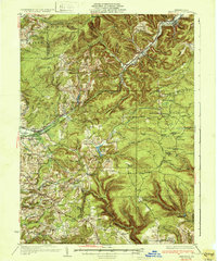
Other maps of this area

1903 · Curwensville
USGS Topo · 1:62,500

1903 · Houtzdale
USGS Topo · 1:62,500

1905 · Houtzdale
USGS Topo · 1:62,500

1906 · Punxsutawney
USGS Topo · 1:62,500

1922 · Du Bois
USGS Topo · 1:62,500

1924 · Du Bois
USGS Topo · 1:62,500

1929 · Clearfield
USGS Topo · 1:48,000

1929 · Penfield
USGS Topo · 1:62,500

1932 · Clearfield
USGS Topo · 1:62,500

1932 · Penfield
USGS Topo · 1:62,500