
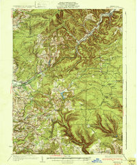
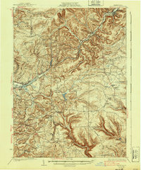
1932 Map of Penfield
USGS Topo · Published 1932About this map
Boone Mountain and its high ridgelines dominate the landscape in this early 1930s survey of central Pennsylvania, where the deep valleys of Anderson Creek and the South Branch Bennett Branch Sinnemahoning Creek defined the local geography. The map captures a moment when the region relied heavily on a dense network of mountain railroads, including the Pennsylvania RR and the Buffalo Rochester and Pittsburgh RR, which connected industrial hubs like Du Bois and Penfield to smaller mining and timber settlements.
Find a feature on this map
89 named features on this map. Tap any name to fly to it.
Don’t see what you’re looking for? This feature index may not catch every label — zoom into the map to look around manually.
Map Details
Editions of this 1932 Penfield Map
3 editions found
Other maps of this area

1903 · Curwensville
USGS Topo · 1:62,500

1903 · Houtzdale
USGS Topo · 1:62,500

1905 · Houtzdale
USGS Topo · 1:62,500

1906 · Punxsutawney
USGS Topo · 1:62,500

1922 · Du Bois
USGS Topo · 1:62,500

1924 · Du Bois
USGS Topo · 1:62,500

1929 · Clearfield
USGS Topo · 1:48,000

1929 · Penfield
USGS Topo · 1:62,500

1932 · Clearfield
USGS Topo · 1:62,500

1939 · Curwensville
USGS Topo · 1:62,500