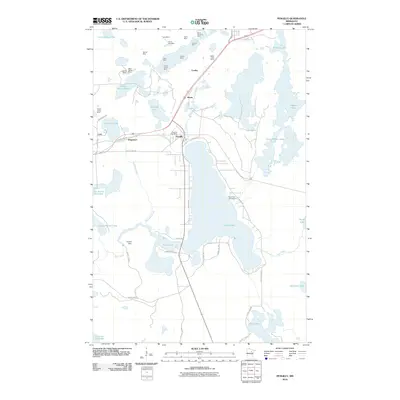
2010 Map of Pengilly
USGS Topo · Published 2010About this map
The iron mining landscape of the Mesabi Range dominates this 2010 study, where large-scale extraction sites like Ann Mine, Patrick Mine, and Kevin Mine border the small residential communities of Pengilly and Cooley. The geography is defined by the proximity of industry to recreation, with the Pengilly Post Office situated just south of the massive Kevin Mine workings. To the north, a cluster of mines including the Helen Mine and North Harrison Mine reveals the intensive footprint of the region's mineral economy.
Find a feature on this map
55 named features on this map. Tap any name to fly to it.
Don’t see what you’re looking for? This feature index may not catch every label — zoom into the map to look around manually.
Map Details
Editions of this 2010 Pengilly Map
This is the sole edition of this map. No revisions or reprints were ever made.
Other maps of this area

1920 · Trout Lake
USGS Topo · 1:62,500

1952 · Keewatin
USGS Topo · 1:24,000

1952 · Nashwauk
USGS Topo · 1:24,000

1952 · Silica
USGS Topo · 1:24,000

1952 · Calumet
USGS Topo · 1:24,000

1952 · Pengilly
USGS Topo · 1:24,000

1954 · Hibbing
USGS Topo · 1:250,000

1957 · Hibbing
USGS Topo · 1:250,000

1958 · Hibbing
USGS Topo · 1:250,000

1964 · Hibbing
USGS Topo · 1:250,000