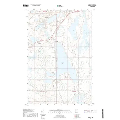
2019 Map of Pengilly
USGS Topo · Published 2019About this map
Nashwauk and the surrounding Mesabi Range communities are defined by an intricate network of iron mining basins and glaciated lakes. The landscape shows the significant footprints of industrial water management, such as the Patrick Stilling Basin and Ox Hide Lake, which sit adjacent to established settlements like Cooley and Kevin. The residential core of Pengilly sits on the northern shore of Swan Lake, where a grid of local roads like Lakeview ST and Badavinac RD meets the water's edge.
Find a feature on this map
54 named features on this map. Tap any name to fly to it.
Don’t see what you’re looking for? This feature index may not catch every label — zoom into the map to look around manually.
Map Details
Editions of this 2019 Pengilly Map
This is the sole edition of this map. No revisions or reprints were ever made.
Other maps of this area

1920 · Trout Lake
USGS Topo · 1:62,500

1952 · Keewatin
USGS Topo · 1:24,000

1952 · Nashwauk
USGS Topo · 1:24,000

1952 · Silica
USGS Topo · 1:24,000

1952 · Calumet
USGS Topo · 1:24,000

1952 · Pengilly
USGS Topo · 1:24,000

1954 · Hibbing
USGS Topo · 1:250,000

1957 · Hibbing
USGS Topo · 1:250,000

1958 · Hibbing
USGS Topo · 1:250,000

1964 · Hibbing
USGS Topo · 1:250,000