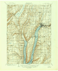
1903 Map of Penn Yan
USGS Topo · Published 1947About this map
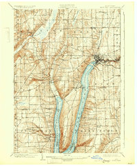
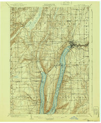
Keuka Lake and its distinctive branching arms dominate this Finger Lakes landscape at the turn of the century. The village of Penn Yan serves as a vital hub at the head of the Lake Outlet, where industrial activity is evident in a string of processing sites including Milo Mills, Seneca Mills, and Keuka Mills. The presence of the Northern Central R.R. and the K. L. & P. Electric R. R. illustrates the importance of rail transport for both freight and local travel between emerging lakeside communities like Keuka Park and Branchport.
Find a feature on this map
53 named features on this map. Tap any name to fly to it.
Don’t see what you’re looking for? This feature index may not catch every label — zoom into the map to look around manually.
Map Details
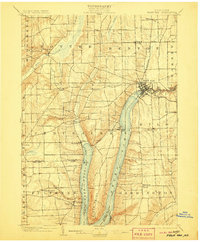
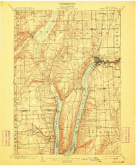
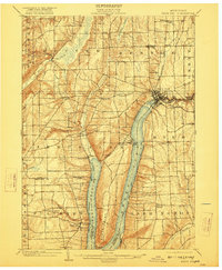
Editions of this 1903 Penn Yan Map
7 editions found
Other maps of this area

1898 · Watkins Glen
USGS Topo · 1:62,500

1900 · Naples
USGS Topo · 1:62,500

1900 · Canandaigua
USGS Topo · 1:62,500

1901 · Watkins
USGS Topo · 1:62,500

1902 · Geneva
USGS Topo · 1:62,500

1902 · Phelps
USGS Topo · 1:62,500

1902 · Ovid
USGS Topo · 1:62,500

1903 · Naples
USGS Topo · 1:62,500

1903 · Canandaigua
USGS Topo · 1:62,500

1903 · Penn Yan
USGS Topo · 1:62,500