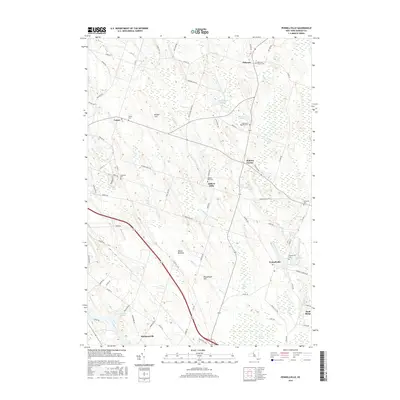
2016 Map of Pennellville
USGS Topo · Published 2016About this map
The Oswego River flows through the southwestern corner of this Oswego County landscape, marking the edge of the Hinmansville settlement. This rural region is defined by a network of drainage ways and marshes, including Peter Scott Swamp and Beaver Meadow, which carve through the drumlin-dotted terrain. Settlement patterns remain focused around historic intersections such as Pennellville, Gilbert Mills, and Suttons Corner. Genealogists will find several burial grounds mapped here, including the Volney Cem, Gilberts Mills Cem, and the Roosevelt Cem near the eastern border. Notable natural features like Great Bear Springs and Bristol Hill stand out against the agricultural and wooded surroundings, while water bodies such as Lake Temalo and Goodfellows Pond are situated among the winding routes of Sixmile Cr and Fish Creek.
Find a feature on this map
81 named features on this map. Tap any name to fly to it.
Don’t see what you’re looking for? This feature index may not catch every label — zoom into the map to look around manually.
Map Details
Editions of this 2016 Pennellville Map
This is the sole edition of this map. No revisions or reprints were ever made.
Other maps of this area

1895 · Syracuse
USGS Topo · 1:62,500

1898 · Syracuse
USGS Topo · 1:62,500

1900 · Baldwinsville
USGS Topo · 1:62,500

1900 · Fulton
USGS Topo · 1:62,500

1905 · Mexico
USGS Topo · 1:62,500

1940 · Brewerton
USGS Topo · 1:24,000

1943 · Oswego East
USGS Topo · 1:31,680

1943 · Lysander
USGS Topo · 1:31,680

1943 · New Haven
USGS Topo · 1:31,680

1943 · Brewerton
USGS Topo · 1:31,680