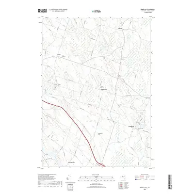
2019 Map of Pennellville
USGS Topo · Published 2019About this map
The Oswego River flows through the southwestern corner of this landscape, marking a vital water corridor near Hinmansville. Further north, the terrain is characterized by a series of low elevations like Bristol Hill and Woodchuck Hill, interspersed with wetlands such as Beaver Meadow and the expansive Peter Scott Swamp. The settlement pattern centers on rural crossroads and small communities, including Gilbert Mills and Pennellville.
Find a feature on this map
81 named features on this map. Tap any name to fly to it.
Don’t see what you’re looking for? This feature index may not catch every label — zoom into the map to look around manually.
Map Details
Editions of this 2019 Pennellville Map
This is the sole edition of this map. No revisions or reprints were ever made.
Other maps of this area

1895 · Syracuse
USGS Topo · 1:62,500

1898 · Syracuse
USGS Topo · 1:62,500

1900 · Baldwinsville
USGS Topo · 1:62,500

1900 · Fulton
USGS Topo · 1:62,500

1905 · Mexico
USGS Topo · 1:62,500

1940 · Brewerton
USGS Topo · 1:24,000

1943 · Oswego East
USGS Topo · 1:31,680

1943 · Lysander
USGS Topo · 1:31,680

1943 · New Haven
USGS Topo · 1:31,680

1943 · Brewerton
USGS Topo · 1:31,680