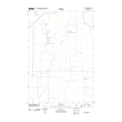
2010 Map of Pennington
USGS Topo · Published 2010About this map
The North Fork Jump River meanders through this portion of Price County, defining a landscape dominated by managed water systems and timber-access roads. Water control is central to the area's character, evidenced by the Spring Creek 3WR213 Dam and the Cranberry Creek 2WP2507 Dam, which maintain the Spring Creek Flowage and the Cranberry Creek Wildlife/Flowage. These features suggest a region focused on wildlife conservation and hydrological management within the Northwoods environment.
Find a feature on this map
30 named features on this map. Tap any name to fly to it.
Don’t see what you’re looking for? This feature index may not catch every label — zoom into the map to look around manually.
Map Details
Editions of this 2010 Pennington Map
This is the sole edition of this map. No revisions or reprints were ever made.
Other maps of this area

1941 · Kennan
USGS Topo · 1:48,000

1941 · Phillips
USGS Topo · 1:48,000

1943 · Philliips
USGS Topo · 1:48,000

1944 · Ogema
USGS Topo · 1:48,000

1945 · Kennan
USGS Topo · 1:48,000

1945 · Black River
USGS Topo · 1:48,000

1947 · Ogema
USGS Topo · 1:48,000

1949 · Ogema
USGS Topo · 1:48,000

1949 · Jump River Fire Tower
USGS Topo · 1:48,000

1953 · Rice Lake
USGS Topo · 1:250,000