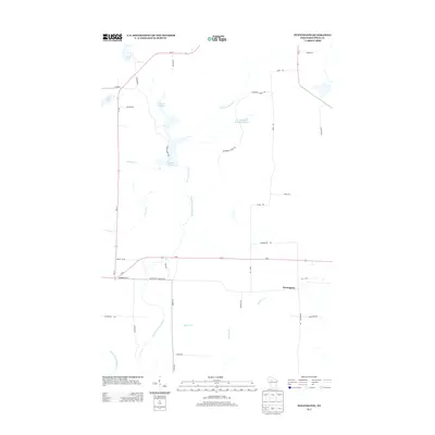
2013 Map of Pennington
USGS Topo · Published 2013About this map
The North Fork Jump River meanders through this portion of Price County, defining a landscape shaped by water and timber roads. The small settlement of Pennington serves as a central point along Us-8, positioned between the river and the eastern boundary near Wi-13. This 2013 survey illustrates the complex hydrography of the region, where managed waters like the Cranberry Cr Wildlife Flowage and Spring Cr Flowage dominate the northern terrain. Named for the local geography, features such as Lake Sixteen, Lake Ten, and several tributary creeks like Needle Cr and Thunder Cr highlight the wet, low-lying nature of the area. A network of rural routes, including Pioneer Rd and Aspen Rd, provide access to these remote flowages and wildlife areas, reflecting the region's modern role in conservation and recreation.
Find a feature on this map
35 named features on this map. Tap any name to fly to it.
Don’t see what you’re looking for? This feature index may not catch every label — zoom into the map to look around manually.
Map Details
Editions of this 2013 Pennington Map
This is the sole edition of this map. No revisions or reprints were ever made.
Other maps of this area

1941 · Kennan
USGS Topo · 1:48,000

1941 · Phillips
USGS Topo · 1:48,000

1943 · Philliips
USGS Topo · 1:48,000

1944 · Ogema
USGS Topo · 1:48,000

1945 · Kennan
USGS Topo · 1:48,000

1945 · Black River
USGS Topo · 1:48,000

1947 · Ogema
USGS Topo · 1:48,000

1949 · Ogema
USGS Topo · 1:48,000

1949 · Jump River Fire Tower
USGS Topo · 1:48,000

1953 · Rice Lake
USGS Topo · 1:250,000