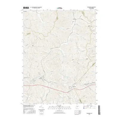
2016 Map of Pennsboro
USGS Topo · Published 2016About this map
Pennsboro serves as a central hub on this West Virginia landscape, positioned where the N Bend Rail Trail follows the valley corridor through the southern half of the quadrangle. This conversion of a former rail line into a trail reflects the area's transition from an industrial transport economy to one of recreation and conservation. The terrain is defined by the winding course of the North Fork Hughes River and its numerous tributaries, including Addox Run and Lizzies Roost Run, which carve deep into the surrounding ridges like Haymond Ridge.
Find a feature on this map
98 named features on this map. Tap any name to fly to it.
Don’t see what you’re looking for? This feature index may not catch every label — zoom into the map to look around manually.
Map Details
Editions of this 2016 Pennsboro Map
This is the sole edition of this map. No revisions or reprints were ever made.
Other maps of this area

1905 · West Union
USGS Topo · 1:62,500

1906 · Saint Marys
USGS Topo · 1:62,500

1906 · Holbrook
USGS Topo · 1:62,500

1907 · Harrisville
USGS Topo · 1:62,500

1924 · St Marys
USGS Topo · 1:62,500

1924 · Harrisville
USGS Topo · 1:62,500

1924 · West Union
USGS Topo · 1:62,500

1924 · Holbrook
USGS Topo · 1:62,500

1926 · Harrisville
USGS Topo · 1:62,500

1926 · Holbrook
USGS Topo · 1:62,500