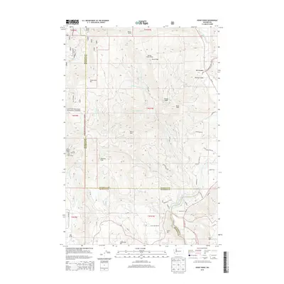
2014 Map of Penny Ridge
USGS Topo · Published 2014About this map
B Z Corner serves as the primary settlement hub within this high-elevation landscape, situated at the junction where the White Salmon River carves through the eastern portion of the map. The terrain is defined by the prominent Monte Cristo Range and its notable spur, Penny Ridge, which overlooks a complex network of forest roads and drainages. A significant portion of the west is protected within the Gifford Pinchot National Forest, where the boundary between Skamania and Klickitat counties traverses high points like Nestor Peak and Whistling Ridge.
Find a feature on this map
63 named features on this map. Tap any name to fly to it.
Don’t see what you’re looking for? This feature index may not catch every label — zoom into the map to look around manually.
Map Details
Editions of this 2014 Penny Ridge Map
This is the sole edition of this map. No revisions or reprints were ever made.
Other maps of this area

1926 · Hood River
USGS Topo · 1:125,000

1929 · Hood River
USGS Topo · 1:125,000

1934 · The Dalles
USGS Topo · 1:125,000

1953 · The Dalles
USGS Topo · 1:250,000

1956 · The Dalles
USGS Topo · 1:250,000

1957 · The Dalles
USGS Topo · 1:250,000

1957 · Willard
USGS Topo · 1:62,500

1957 · White Salmon
USGS Topo · 1:62,500

1957 · Husum
USGS Topo · 1:62,500

1957 · Hood River
USGS Topo · 1:62,500