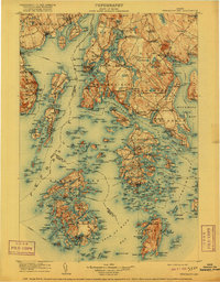
1905 Map of Penobscot Bay
USGS Topo · Published 1916About this map
Maritime life and complex island geography define this coastal survey from the early twentieth century. Extensive Steamboat Routes crisscross the waters, connecting isolated communities like Dark Harbor on Islesboro with the mainland hubs of Castine and Searsport. The landscape is dotted with small-scale industries and community landmarks, from the Gravel Pit near Northern Bay to the numerous Mills and the Hospital shown near the peninsula.
Find a feature on this map
321 named features on this map. Tap any name to fly to it.
Don’t see what you’re looking for? This feature index may not catch every label — zoom into the map to look around manually.
Map Details
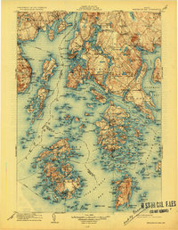
Editions of this 1905 Penobscot Bay Map
3 editions found

Other maps of this area

1900 · Orland
USGS Topo · 1:62,500

1900 · Bucksport
USGS Topo · 1:62,500

1902 · Bucksport
USGS Topo · 1:62,500

1902 · Castine
USGS Topo · 1:62,500

1904 · Deer Isle
USGS Topo · 1:62,500

1904 · Castine
USGS Topo · 1:62,500

1904 · Mount Desert
USGS Topo · 1:62,500

1904 · Swan Island
USGS Topo · 1:62,500

1904 · Bluehill
USGS Topo · 1:62,500

1904 · Vinalhaven
USGS Topo · 1:62,500