
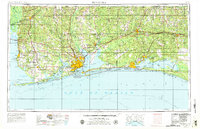
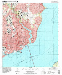
1960 Map of Pensacola
USGS Topo · Published 1960About this map
Pensacola and its surrounding coastal bays anchor this 1960 topographic study of the Florida Panhandle and the eastern shore of Alabama. The map documents a landscape defined by significant military infrastructure and emerging tourism, highlighting the US Naval Air Station Pensacola (Forrest Sherman) and the sprawling Eglin Air Force Base to the east. The transportation network is dominated by the Louisville and Nashville railroad and the Intracoastal Waterway, which snakes through the barrier island systems including Santa Rosa Island. Inland, the Blackwater River State Forest and the Yellow R basin contrast with the developing coastal corridors of Fort Walton Beach and Niceville. This edition captures the region's geography before the intense modern urbanization of the Emerald Coast, preserving the layout of older timber and rail towns like Milton, Crestview, and De Funiak Springs.
Find a feature on this map
58 named features on this map. Tap any name to fly to it.
Don’t see what you’re looking for? This feature index may not catch every label — zoom into the map to look around manually.
Map Details
Editions of this 1960 Pensacola Map
This is the sole edition of this map. No revisions or reprints were ever made.
Historical Maps of 9th Avenue Apartments Through Time
11 maps found

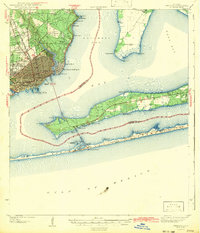
1921 Pensacola
Escambia County, FL

1941 Pensacola
Escambia County, FL
1942 Pensacola
Escambia County, FL

1944 Pensacola
Escambia County, FL
1957 Pensacola
Escambia County, FL

1959 Pensacola
Escambia County, FL
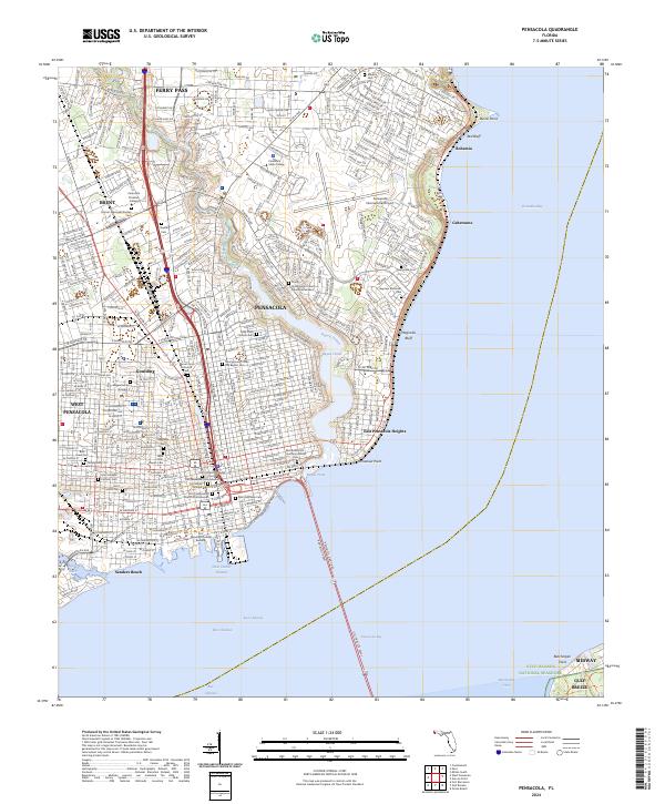
1960 Pensacola
Escambia County, FL
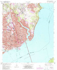
1970 Pensacola
Escambia County, FL
1978 Pensacola
Escambia County, FL
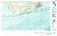
1994 Pensacola
Escambia County, FL
2024 Pensacola
Escambia County, FL