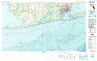
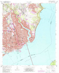
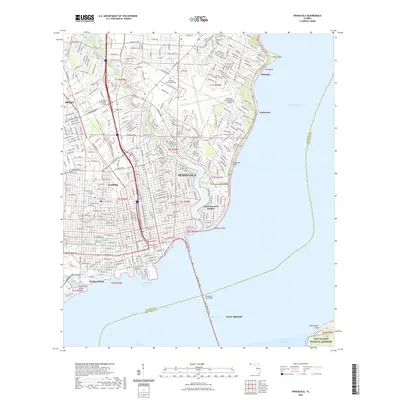
1978 Map of Pensacola
USGS Topo · Published 1986About this map
The Pensacola Naval Air Station and surrounding military installations like Saufley Field anchor this coastal landscape during the late 1970s. This survey illustrates the intricate relationship between the urban core of Pensacola and the sprawling waterways of the Gulf of Mexico, Pensacola Bay, and Perdido Bay. The map reveals the developed barrier islands of Santa Rosa Island and Perdido Key, separated by the Intracoastal Waterway which serves as a vital artery for maritime commerce and travel.
Find a feature on this map
106 named features on this map. Tap any name to fly to it.
Don’t see what you’re looking for? This feature index may not catch every label — zoom into the map to look around manually.
Map Details
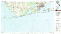
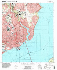
Editions of this 1978 Pensacola Map
3 editions found

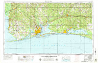
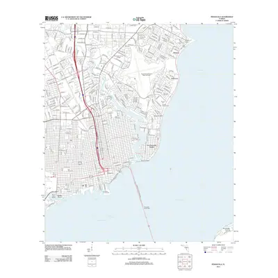
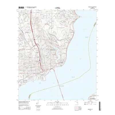
Historical Maps of Pensacola Through Time
15 maps found

1921 Pensacola
Escambia County, FL

1941 Pensacola
Escambia County, FL
1942 Pensacola
Escambia County, FL

1944 Pensacola
Escambia County, FL
1957 Pensacola
Escambia County, FL

1959 Pensacola
Escambia County, FL

1960 Pensacola
Escambia County, FL
1970 Pensacola
Escambia County, FL
1978 Pensacola
Escambia County, FL
1994 Pensacola
Escambia County, FL
2012 Pensacola
Escambia County, FL
2015 Pensacola
Escambia County, FL

2018 Pensacola
Escambia County, FL
2021 Pensacola
Escambia County, FL
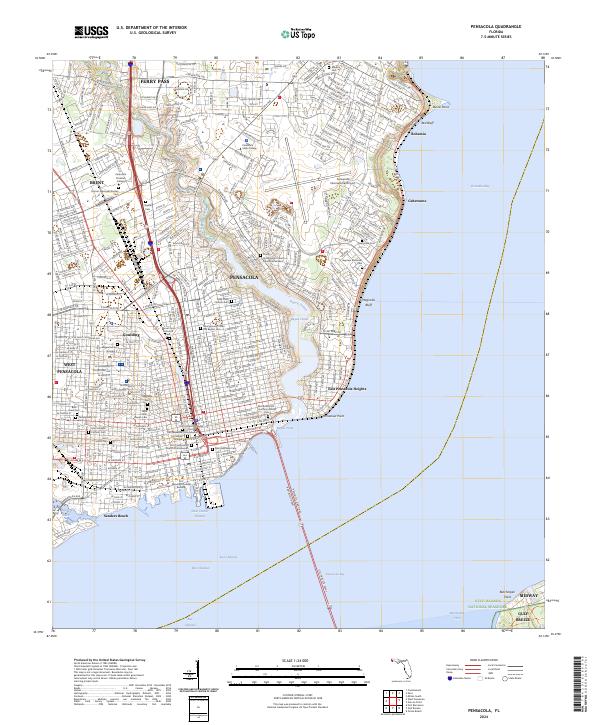
2024 Pensacola
Escambia County, FL