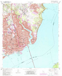
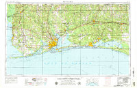
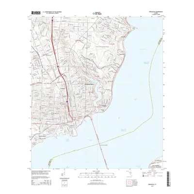
1970 Map of Pensacola
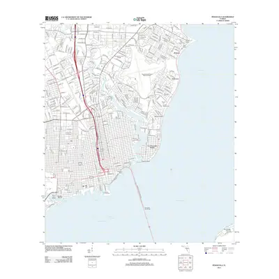
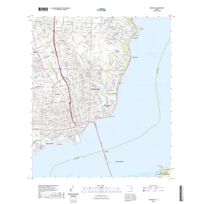
USGS Topo · Published 1988About this map
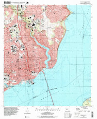
Pensacola stands as a busy hub of coastal industry and civic expansion in this late 20th-century survey, defined by its deep relationship with the surrounding waters of Pensacola Bay and Bayou Texar. The urban landscape is dense with educational and medical institutions, from Pensacola Junior College to the Sacred Heart Hospital complex, reflecting the city's role as a regional center. The waterfront remains deeply industrial, anchored by the Muscogee Wharf and the Pensacola Port Authority, while the Burlington Northern railroad lines carve through the city's heart to reach the harbor. Evidence of older community foundations persists in numerous neighborhood landmarks like Seville Square and a network of parish schools including St Michael Sch and St Josephs Sch. The map also captures the sprawling growth of suburbs like East Pensacola Heights and the development of the Pensacola Regional Airport to the northeast.
Find a feature on this map
66 named features on this map. Tap any name to fly to it.
Don’t see what you’re looking for? This feature index may not catch every label — zoom into the map to look around manually.
Map Details
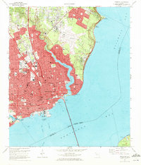
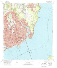
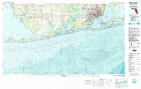
Editions of this 1970 Pensacola Map
3 editions found
Historical Maps of Pensacola Through Time
15 maps found

1921 Pensacola
Escambia County, FL

1941 Pensacola
Escambia County, FL
1942 Pensacola
Escambia County, FL

1944 Pensacola
Escambia County, FL
1957 Pensacola
Escambia County, FL

1959 Pensacola
Escambia County, FL

1960 Pensacola
Escambia County, FL
1970 Pensacola
Escambia County, FL
1978 Pensacola
Escambia County, FL
1994 Pensacola
Escambia County, FL
2012 Pensacola
Escambia County, FL
2015 Pensacola
Escambia County, FL

2018 Pensacola
Escambia County, FL
2021 Pensacola
Escambia County, FL
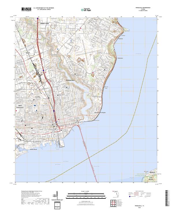
2024 Pensacola
Escambia County, FL
Featured Locations
- Brent, FL
- Pensacola, FL
- Gull Point, Pensacola
- East Pensacola Heights, Pensacola
- Sanders Beach, Pensacola