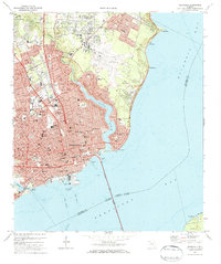
1970 Map of Pensacola
USGS Topo · Published 1984About this map
The dense waterfront of Pensacola is shown here just before the city’s post-war expansion reshaped the outskirts. The harbor remains a hive of activity, anchored by Muscogee Wharf and the Inner Harbor Channel, while the Pensacola-Gulf Breeze Bridge provides a vital link across the bay to Gulf Breeze. The urban core is a cluster of civic and spiritual landmarks, from Seville Square to Sacred Heart Hospital.
Find a feature on this map
98 named features on this map. Tap any name to fly to it.
Don’t see what you’re looking for? This feature index may not catch every label — zoom into the map to look around manually.
Map Details
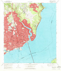
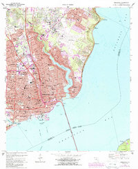
Editions of this 1970 Pensacola Map
3 editions found
Other maps of this area

1920 · Milton
USGS Topo · 1:62,500

1921 · Pensacola
USGS Topo · 1:62,500

1921 · Fort Barrancas
USGS Topo · 1:62,500

1921 · Muscogee
USGS Topo · 1:62,500

1941 · Fort Barrancas
USGS Topo · 1:62,500

1941 · Muscogee
USGS Topo · 1:62,500

1941 · Pensacola
USGS Topo · 1:62,500

1941 · Milton
USGS Topo · 1:62,500

1942 · Pensacola
USGS Topo · 1:62,500

1943 · Muscogee
USGS Topo · 1:62,500
Featured Places
- Pensacola, FL
- East Pensacola Heights, Pensacola
- Gull Point, Pensacola
- Sanders Beach, Pensacola
- Brent, FL