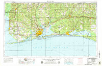
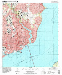
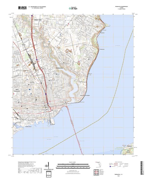
1957 Map of Pensacola
USGS Topo · Published 1979About this map
Pensacola Bay and its surrounding coastal reaches are defined by a heavy military presence and the winding Intracoastal Waterway during this mid-century period. The map highlights the strategic importance of the region, featuring NAS Pensacola and the sprawling expanse of Eglin Air Force Base to the east. Urban centers like Pensacola, Fort Walton Beach, and Brent show significant growth, while the barrier of Santa Rosa Island protects the inner sounds and bays. Inland, the landscape transitions to the dense woodlands of Blackwater River State Forest, with the Louisville and Nashville railroad providing a vital corridor for commerce between towns such as Crestview and Milton. Along the Mobile Bay coastline to the west, established communities like Fairhope and Daphne overlook the water, anchored by landmarks such as Jackson Oak.
Find a feature on this map
78 named features on this map. Tap any name to fly to it.
Don’t see what you’re looking for? This feature index may not catch every label — zoom into the map to look around manually.
Map Details
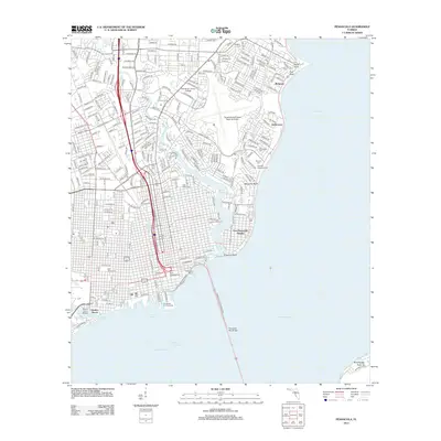
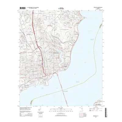
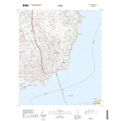
Editions of this 1957 Pensacola Map
3 editions found


Historical Maps of Mobile Through Time
15 maps found

1921 Pensacola
Escambia County, FL

1941 Pensacola
Escambia County, FL
1942 Pensacola
Escambia County, FL

1944 Pensacola
Escambia County, FL
1957 Pensacola
Escambia County, FL

1959 Pensacola
Escambia County, FL

1960 Pensacola
Escambia County, FL
1970 Pensacola
Escambia County, FL
1978 Pensacola
Escambia County, FL
1994 Pensacola
Escambia County, FL
2012 Pensacola
Escambia County, FL
2015 Pensacola
Escambia County, FL

2018 Pensacola
Escambia County, FL
2021 Pensacola
Escambia County, FL
2024 Pensacola
Escambia County, FL