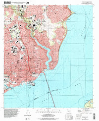
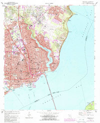
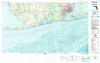
1994 Map of Pensacola
USGS Topo · Published 1999About this map
The urban waterfront of Pensacola and its surrounding suburbs are captured here as they appeared in the mid-1990s, showcasing a landscape defined by deep-water access and established neighborhoods. The map details the complex shoreline where Bayou Texar and Bayou Chico meet the broader waters of Pensacola Bay. Industrial and commercial hubs like Muscogee Wharf and the Pensacola Port Authority reveal the city's ongoing maritime economic role, while the inland grid is dense with civic infrastructure, including the Pensacola Junior College campus and the sprawling Pensacola Regional Airport.
Find a feature on this map
59 named features on this map. Tap any name to fly to it.
Don’t see what you’re looking for? This feature index may not catch every label — zoom into the map to look around manually.
Map Details
Editions of this 1994 Pensacola Map
This is the sole edition of this map. No revisions or reprints were ever made.
Historical Maps of 9th Avenue Apartments Through Time
11 maps found

1921 Pensacola
Escambia County, FL

1941 Pensacola
Escambia County, FL
1942 Pensacola
Escambia County, FL

1944 Pensacola
Escambia County, FL
1957 Pensacola
Escambia County, FL

1959 Pensacola
Escambia County, FL

1960 Pensacola
Escambia County, FL
1970 Pensacola
Escambia County, FL
1978 Pensacola
Escambia County, FL
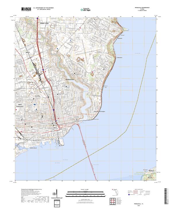
1994 Pensacola
Escambia County, FL
2024 Pensacola
Escambia County, FL
Featured Locations
- Brent, FL
- Pensacola, FL
- Gull Point, Pensacola
- East Pensacola Heights, Pensacola
- Sanders Beach, Pensacola