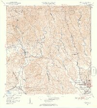
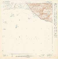
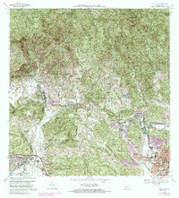
1952 Map of Penuelas
USGS Topo · Published 1953About this map
The Río Tallaboa and its tributaries define this mountainous terrain in southern Puerto Rico during the early 1950s. The landscape is marked by a blend of traditional agricultural estates and emerging industrial infrastructure, including the Salto Garzas Planta Hidroeléctrica No 1 and its companion plant to the south. Local landmarks such as Hacienda Dolores, Hacienda Oliva, and Hacienda Josefa suggest the long-standing plantation history of the region.
Find a feature on this map
67 named features on this map. Tap any name to fly to it.
Don’t see what you’re looking for? This feature index may not catch every label — zoom into the map to look around manually.
Map Details
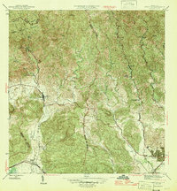
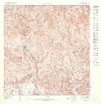
Editions of this 1952 Penuelas Map
2 editions found
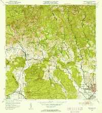
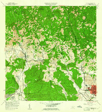
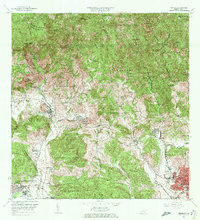
Historical Maps of Peñuelas Through Time
11 maps found
1946 Penuelas
Peñuelas Municipio, PR
1947 Penuelas NO
Peñuelas Municipio, PR
1947 Penuelas SO
Peñuelas Municipio, PR
1947 Punta Gughara NO
Peñuelas Municipio, PR
1952 Penuelas
Peñuelas Municipio, PR
1958 Penuelas
Peñuelas Municipio, PR
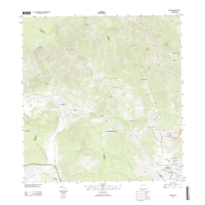
1964 Penuelas
Peñuelas Municipio, PR
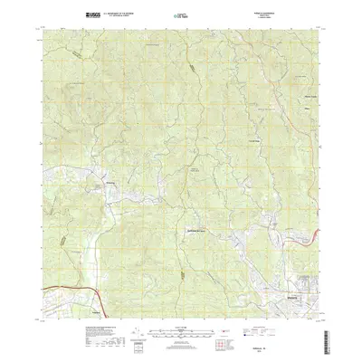
1972 Penuelas
Peñuelas Municipio, PR
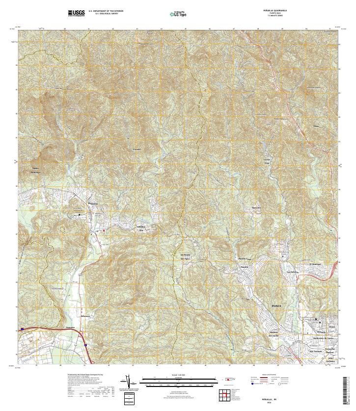
2013 Penuelas
Peñuelas Municipio, PR
2018 Penuelas
Peñuelas Municipio, PR
2024 Penuelas
Peñuelas Municipio, PR
Featured Locations
- Peñuelas, Peñuelas
- Sector Loyola, Peñuelas
- Sector Los Cruz, Ponce
- Sector Los Garcías, Ponce
- Sector La Vaquería, Ponce