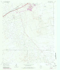
1964 Map of Penwell
USGS Topo · Published 1981About this map
The industrial and ranching landscape of West Texas comes into focus near Penwell, where the intersection of energy production and transportation is clearly defined. A large Refinery and numerous industrial Quarries dominate the northern portion of the sheet, served by the Missouri Pacific railroad line. The map captures a moment when the Permian Basin's oil infrastructure was densely integrated into the terrain, evidenced by a network of pipelines and named water sources like Germany Wells, Nestor Well, and Bradley Barn Well.
Find a feature on this map
18 named features on this map. Tap any name to fly to it.
Don’t see what you’re looking for? This feature index may not catch every label — zoom into the map to look around manually.
Map Details
Editions of this 1964 Penwell Map
2 editions found
Other maps of this area

1954 · Pecos
USGS Topo · 1:250,000

1957 · Pecos
USGS Topo · 1:250,000

1964 · Odessa SW
USGS Topo · 1:24,000

1964 · Douro
USGS Topo · 1:24,000

1964 · Metz
USGS Topo · 1:24,000

1964 · Red Lakes
USGS Topo · 1:24,000

1964 · Doodle Bug Well
USGS Topo · 1:24,000

1964 · Penwell SW
USGS Topo · 1:24,000

1964 · Penwell
USGS Topo · 1:24,000

1964 · Penwell SE
USGS Topo · 1:24,000