2024 Map of Peoria
USGS Topo · Published 2024About this map
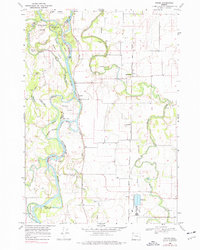
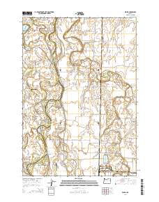
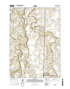
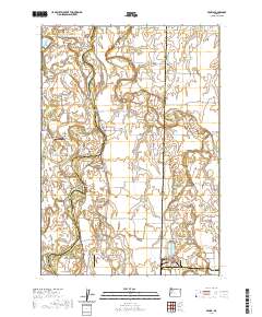
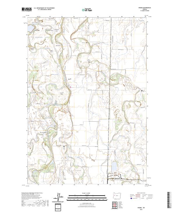
The Willamette River defines the landscape of this region on the border of Benton and Linn counties, where a complex network of secondary channels and islands characterizes the river valley. The settlement of Peoria sits on the eastern bank, positioned near the McBee Slough and the Albany Channel. The terrain is marked by numerous family-named islands such as John Smith Island and Bear Island, reflecting a history of river-dependent settlement and land use. The southern portion of the map is dominated by the William L Finley National Wildlife Refuge, preserving a significant portion of the natural wetlands and riparian habitat. Local history is anchored by several rural burial grounds, including Brattain Cem and the Miller - Coon Cem, while aviation landmarks like Schrock Airport and Jim's Airstrip show the modern connectivity of these agricultural lands. The presence of Long Tom River and Muddy Creek further highlights the intricate hydrology of this fertile valley.
Find a feature on this map
79 named features on this map. Tap any name to fly to it.
Don’t see what you’re looking for? This feature index may not catch every label — zoom into the map to look around manually.
Map Details
Editions of this 2024 Peoria Map
This is the sole edition of this map. No revisions or reprints were ever made.
Historical Maps of Peoria Through Time
6 maps found