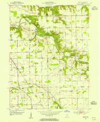
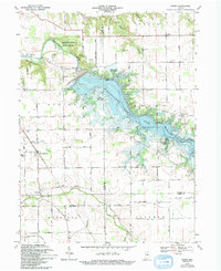
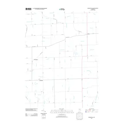
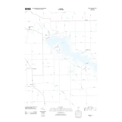
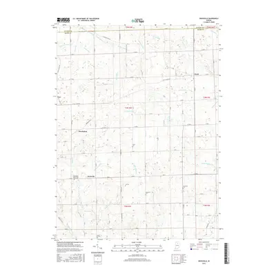
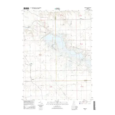
1953 Map of Peoria
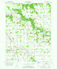
USGS Topo · Published 1966About this map
The Mississinewa River carves a deep, winding path through this mid-century landscape of Miami and Wabash Counties, anchoring the Frances Slocum State Forest. The river's edge is marked by the geological curiosity of the Cliffs of the Seven Double Pillars, while the historical Slocum Trail traces the upland terrain. This era shows a well-connected agricultural and transport network, with the Chesapeake and Ohio railroad cutting across the southern half, serving small hubs like Santa Fe and McGraw.
Find a feature on this map
35 named features on this map. Tap any name to fly to it.
Don’t see what you’re looking for? This feature index may not catch every label — zoom into the map to look around manually.
Map Details
Editions of this 1953 Peoria Map
3 editions found
Historical Maps of Pioneer Through Time
14 maps found
1953 Peoria
Miami County, IN
1960 Deedsville
Miami County, IN
1969 Peoria
Miami County, IN
1992 Deedsville
Miami County, IN
2010 Deedsville
Miami County, IN
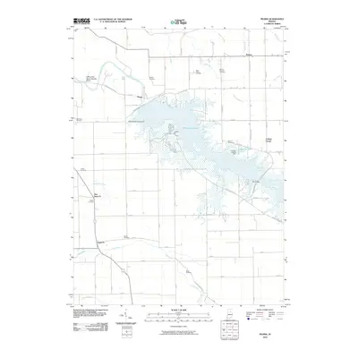
2010 Peoria
Miami County, IN
2013 Deedsville
Miami County, IN
2013 Peoria
Miami County, IN
2016 Deedsville
Miami County, IN
2016 Peoria
Miami County, IN
2019 Deedsville
Miami County, IN
2019 Peoria
Miami County, IN
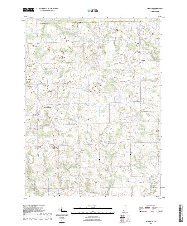
2022 Deedsville
Miami County, IN
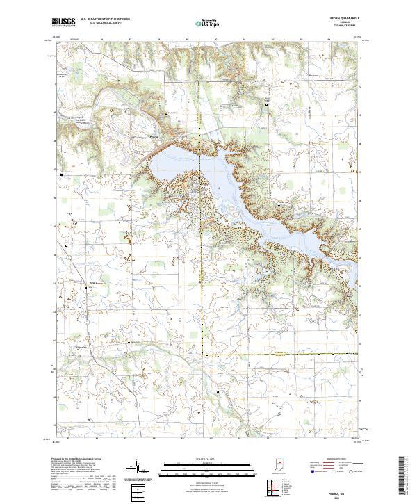
2022 Peoria
Miami County, IN