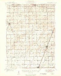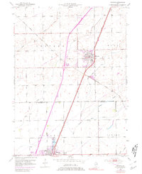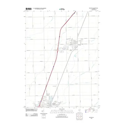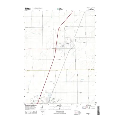
1990 Map of Peotone
USGS Topo · Published 1991About this map
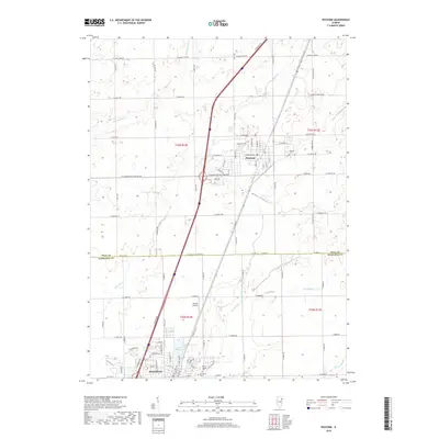
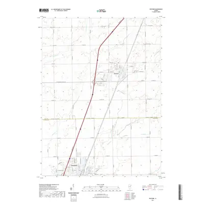
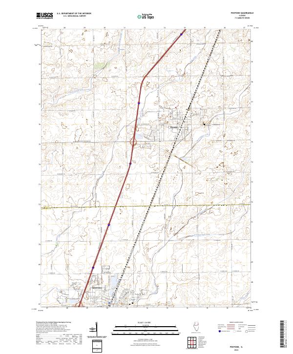
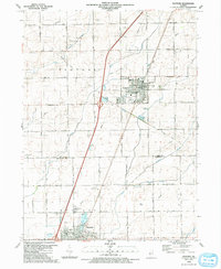
The village of Peotone sits at the heart of this Will County landscape, appearing as a concentrated hub of civic life at the turn of the 1990s. The community is anchored by the Village Hall & Fire Sta, the Peotone Cem, and the Community Park Fairground. To the south, the village of Manteno begins to expand around Lake Manteno, where St Joseph Ch and its namesake St Joseph Cem serve the local parish. This area marks a critical intersection of transportation and topography, where the Illinois Central Gulf railroad cuts a straight line through the agricultural grid.
Find a feature on this map
42 named features on this map. Tap any name to fly to it.
Don’t see what you’re looking for? This feature index may not catch every label — zoom into the map to look around manually.
Map Details
Editions of this 1990 Peotone Map
This is the sole edition of this map. No revisions or reprints were ever made.
Historical Maps of Manteno Through Time
8 maps found