
1929 Map of Brisbane
USGS Topo · Published 1929About this map
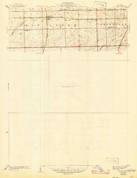
The railroad settlement of Brisbane serves as a central hub in this late 1920s survey, where three major rail lines converge. The Michigan Central and Elgin Joliet and Eastern Line run east-to-west, while the Wabash line bisects the landscape north-to-south. This network of tracks defined the economic life of New Lenox and Frankfort townships, supporting small prairie communities like Spencer.
Find a feature on this map
13 named features on this map. Tap any name to fly to it.
Don’t see what you’re looking for? This feature index may not catch every label — zoom into the map to look around manually.
Map Details
Editions of this 1929 Brisbane Map
2 editions found
Other maps of this area

1890 · Des Plaines
USGS Topo · 1:62,500

1892 · Joliet
USGS Topo · 1:62,500

1892 · Wilmington
USGS Topo · 1:62,500

1894 · Des Plaines
USGS Topo · 1:62,500

1900 · Des Plaines
USGS Topo · 1:62,500

1901 · Des Plaines
USGS Topo · 1:62,500

1918 · Wilmington
USGS Topo · 1:62,500

1923 · Joliet
USGS Topo · 1:62,500

1929 · Tinley Park
USGS Topo · 1:24,000
1929 · Mokena
USGS Topo · 1:24,000