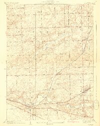
1929 Map of Mokena
USGS Topo · Published 1929About this map
Mokena and New Lenox anchor the landscape of northeastern Will County in the late 1920s, showing a well-established network of rural schools and family cemeteries. The map details the transition from farmsteads to organized townships like Homer and Frankfort, where corner schools such as Wells Corner School and Solterman School served the agricultural community. Several small settlements including Hadley and Alpine are captured along early transit corridors, long before modern suburban expansion transformed the region.
Find a feature on this map
46 named features on this map. Tap any name to fly to it.
Don’t see what you’re looking for? This feature index may not catch every label — zoom into the map to look around manually.
Map Details
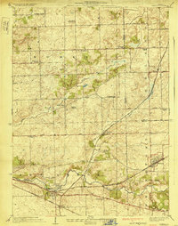
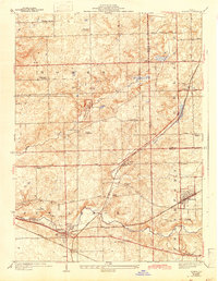
Editions of this 1929 Mokena Map
3 editions found
Other maps of this area

1890 · Des Plaines
USGS Topo · 1:62,500

1892 · Joliet
USGS Topo · 1:62,500

1892 · Wilmington
USGS Topo · 1:62,500

1894 · Des Plaines
USGS Topo · 1:62,500

1900 · Des Plaines
USGS Topo · 1:62,500

1901 · Des Plaines
USGS Topo · 1:62,500

1918 · Wilmington
USGS Topo · 1:62,500

1923 · Joliet
USGS Topo · 1:62,500

1928 · Palos Park
USGS Topo · 1:24,000

1928 · Sag Bridge
USGS Topo · 1:24,000