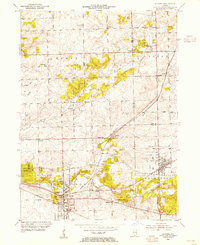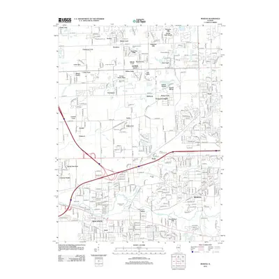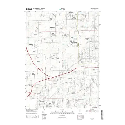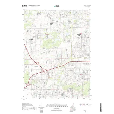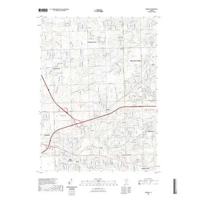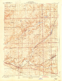
1929 Map of Mokena
USGS Topo · Published 1943About this map
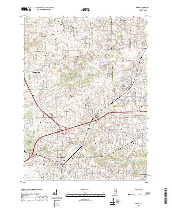
Messenger Woods County Forest Preserve sits at the heart of this landscape, surrounded by the evolving townships of Homer, Orland, and New Lenox. Surveyed in the late 1920s with culture revisions into the early 1940s, the map illustrates a pre-suburban era where rural schools like Solterman School and Ross School were scattered across the countryside. The geography is defined by the convergence of several major drainage systems, including Hickory Creek and Marley Creek, which dictated the early layout of regional roads and rail lines.
Find a feature on this map
46 named features on this map. Tap any name to fly to it.
Don’t see what you’re looking for? This feature index may not catch every label — zoom into the map to look around manually.
Map Details
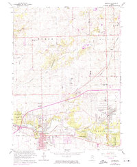
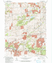
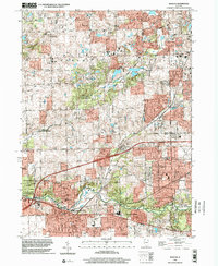
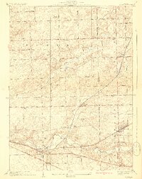
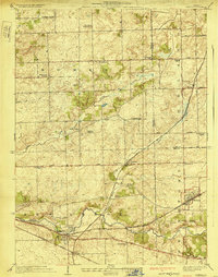
Editions of this 1929 Mokena Map
3 editions found
Historical Maps of Joliet Through Time
10 maps found