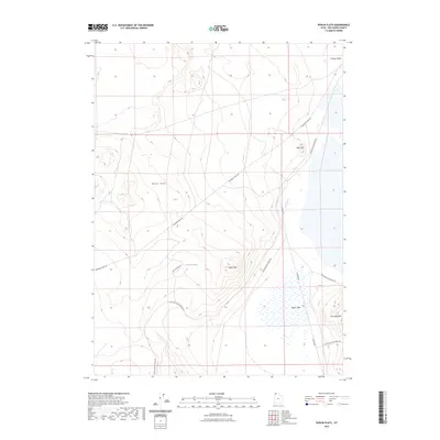
2023 Map of Peplin Flats
USGS Topo · Published 2023About this map
Historic routes and isolated water sources define this remote stretch of the Utah desert. The landscape is marked by the enduring presence of the Emigrant Trail Rd and the Old Railroad Grade Rd, reflecting the long-standing transit importance of this arid region. These modern labels trace the paths of early western migration and nineteenth-century rail infrastructure as they skirt the high ground of the Baker Hills and Peplin Mtn.
Find a feature on this map
13 named features on this map. Tap any name to fly to it.
Don’t see what you’re looking for? This feature index may not catch every label — zoom into the map to look around manually.
Map Details
Editions of this 2023 Peplin Flats Map
This is the sole edition of this map. No revisions or reprints were ever made.
Other maps of this area

1954 · Brigham City
USGS Topo · 1:250,000

1958 · Brigham City
USGS Topo · 1:250,000

1959 · Kelton Pass
USGS Topo · 1:62,500

1959 · Park Valley
USGS Topo · 1:62,500

1962 · Brigham City
USGS Topo · 1:250,000

1969 · Peplin Flats
USGS Topo · 1:24,000

1969 · Crocodile Mtn NE
USGS Topo · 1:24,000

1969 · Hogup Bar
USGS Topo · 1:24,000
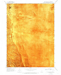
1969 · Crocodile Mtn SE
USGS Topo · 1:24,000

1971 · Matlin
USGS Topo · 1:24,000